
Trace Burlington Street Addresses
A Burlington street search starts with the physical parcel. The strongest order is current tax record, GIS context, permit or code record where available, recorded deed and legal description, historical street listing, and then released voter data when a name-based registration check is appropriate. Each source answers a narrower question. Tax and deeds identify an owner or a recorded party. GIS establishes spatial context. Permits can date work. A street directory records a past published entry. None of these sources alone creates a complete household list.
- Enter the Burlington address in the Alamance Tax or Spatialest property route and copy the situs address, owner, parcel identifier, legal description, and book/page reference if shown.
- Open the Alamance GIS map to confirm the parcel’s jurisdiction and to inspect the address against nearby parcel shapes.
- Search the Cott land-record index by book and page, grantor, grantee, document type, or legal-description clues from the tax record.
- Check county Inspections or Burlington SmartGov for address-keyed permit evidence, keeping applicant and project date separate from ownership.
- Use a dated DigitalNC street section or May Memorial material for older Burlington street entries, then compare names and cross streets.
When an address result is unclear, preserve the source date and record the parcel ID or legal description before trying a person-name search. That protects the Burlington street directory trail from same-name mistakes.
Burlington GIS Street Context
The Alamance GIS hub connects the county interactive map, property resources, downloads, orthophotos, and open-data links. For Burlington street research, GIS is the jurisdiction check before a tax, permit, or address conclusion. The GIS office is at 1946 Martin Street in Burlington, and county sources identify contacts for parcel, zoning, and addressing questions. The live viewer did not expose its controls in text inspection, so do not promise a particular layer, export, or search button until it is visible in a supported browser.
The intended workflow is straightforward: search an address or parcel, identify the polygon, copy the parcel identifier, and bridge that result to the tax record. Zooming out can show adjoining parcels and street geometry, but parcel adjacency is not a statement about personal relationships or present occupants. A GIS map supplies map evidence. It does not replace a recorded document or prove legal title.
The Alamance GIS source shown below is the county entry point for Burlington street-directory work.
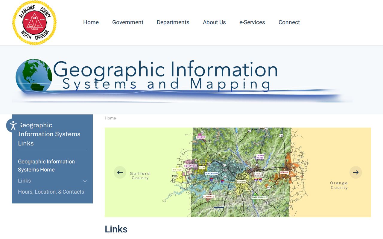
Use the GIS result to confirm the address and parcel context before moving to owner, deed, or permit records.
Burlington Tax Parcels by Address
Alamance Tax links real-estate record search and property-tax services for Burlington parcels. County research confirms owner-name, situs-address, and parcel routes, but the exact live labels, required fields, sorting, result cap, and ZIP filters were not visible in the captured application. Test a known address, owner name, or parcel identifier in a supported browser. Copy the values that appear rather than inferring them from a street name alone.
The key distinction is situs versus mailing address. Situs is where the taxable parcel is located. Mailing is where the tax notice goes and can be in another city, ZIP, or state. The owner of record may not be the person living at the Burlington street address. The county’s Schedule of Values supports the use of Book and Page, qualification code, date, sales price, notes, and percent complete as property-review vocabulary, but live display of every field still needs verification.
| Interface or field | Required status | Use in a Burlington street search |
|---|---|---|
| Owner name | Not verified | Test surname and given-name variants |
| Situs or property address | Not verified | Search number and street name |
| Parcel or real-property ID | Not verified | Use a number copied from GIS or a tax bill |
| ZIP or advanced filter | Not verified | No confirmed field in the accessible interface |
| Search, reset, sort, export | Not verified | Confirm live before relying on a control |
The Alamance Tax site is the captured start for a Burlington street directory address check.
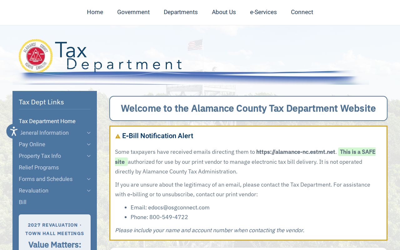
A tax-card hit should lead to GIS and the recorded-document index, not to a claim that every person at the address has been identified.
Burlington Deed Chain Along Streets
The Register of Deeds Cott index is Burlington’s recorded-document layer. Search it by grantor or grantee, book and page, document type, recorded date, or legal-description clue. The public sample shows date filed, index, kind, party one, party two, description marked not warranted, file number, book and page, reference, amount, and images. A deed legal description can identify a lot, block, subdivision, or boundary even where a street number has changed.
Plats bridge roads and parcels. Deeds, deeds of trust, plats, liens, and other document types may use different index categories. The Register of Deeds advises its users to select Directory rather than All Matches after formatting changes. Its official public instructions do not state an online index cutoff. A sample dated from 1980 must not be treated as the beginning of online records. Ask the Graham counter about older books, microfilm, and index drawers.
- Parcel
- A land unit used in tax and GIS records.
- Situs address
- The physical address attached to the taxable parcel.
- Plat
- A recorded map that may show lots, blocks, roads, and subdivision geometry.
- Criss-cross directory
- A historical directory arranged by street or address rather than by personal name.
The Alamance County Register of Deeds source is shown as the official counter and recorded-document route.
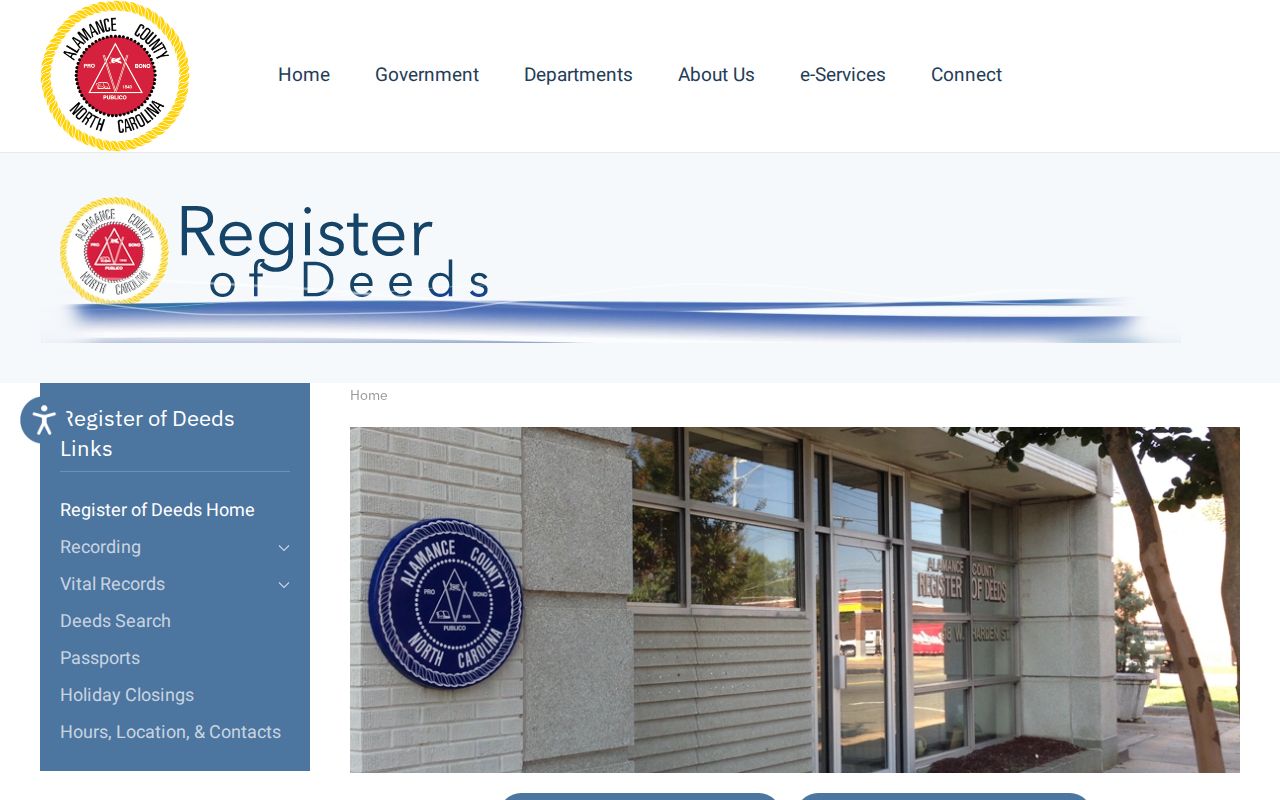
The office is the source for official records and older material when the online record is unavailable or needs clarification.
The Cott land-record entry is the related public index route for a Burlington street directory deed search.
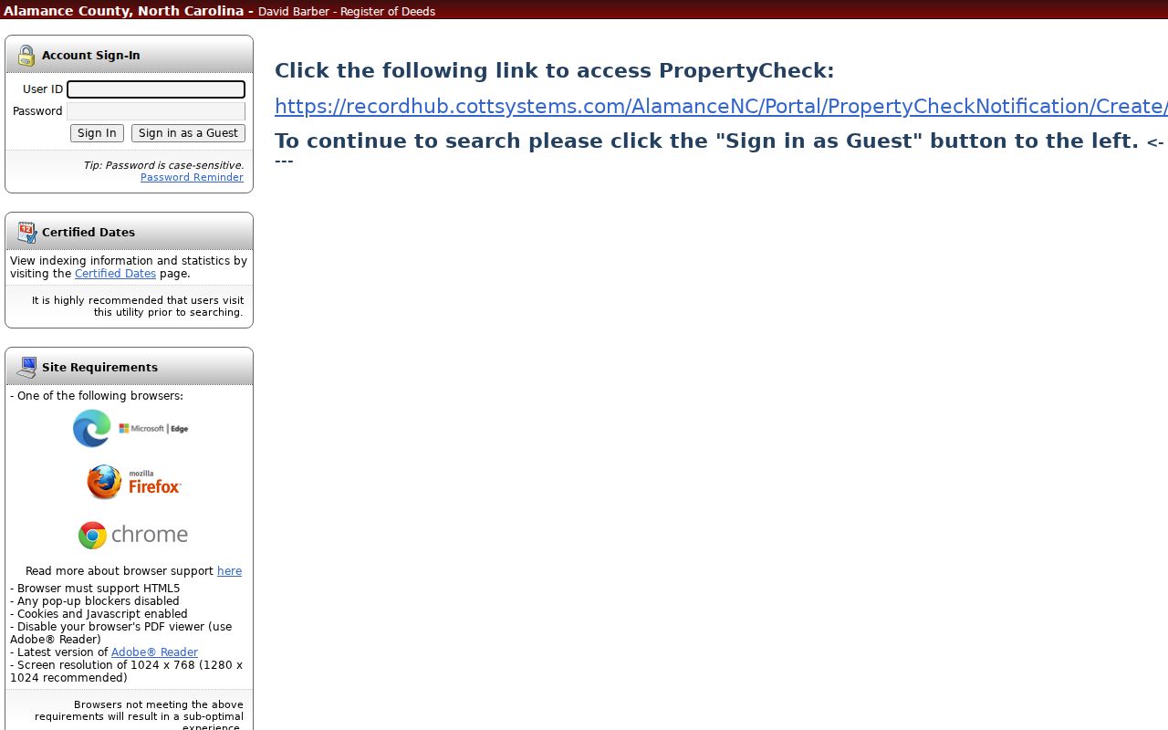
Read the index entry with the tax parcel and legal description so that the recorded document is tied to the right Burlington property.
Burlington Permit Address Searches
Address-keyed permit records add a construction or inspection date to the Burlington street directory trail. County online inspections document Street Address, Owner’s Information, Permit Number, and Contractor as search modes. Burlington SmartGov accepts a permit or license number, address, or name, and its public guide says a search requires at least two characters. A result can show the permit or reference number, address, submitted date, expiration, and status.
A permit can identify an applicant, contractor, work description, inspection status, and date. It does not prove ownership or current residence. Search both county Inspections and SmartGov when a property is in the city, because the county route serves a wider area and Burlington has its own public service path. No unified public code-enforcement case index was located. For an existing code record, ask the holding office rather than assuming an online case list exists.
The Alamance County Inspections source shows the county address-record route.
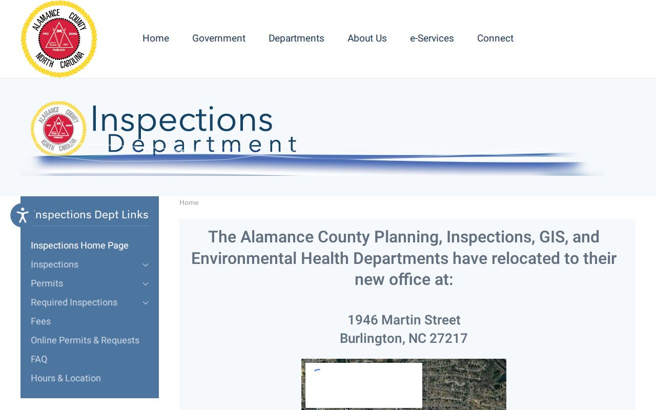
The county route supports permit and inspection context, which should be checked against parcel and deed evidence.
The county online permits and inspections search provides the documented address, owner, permit, and contractor search modes.
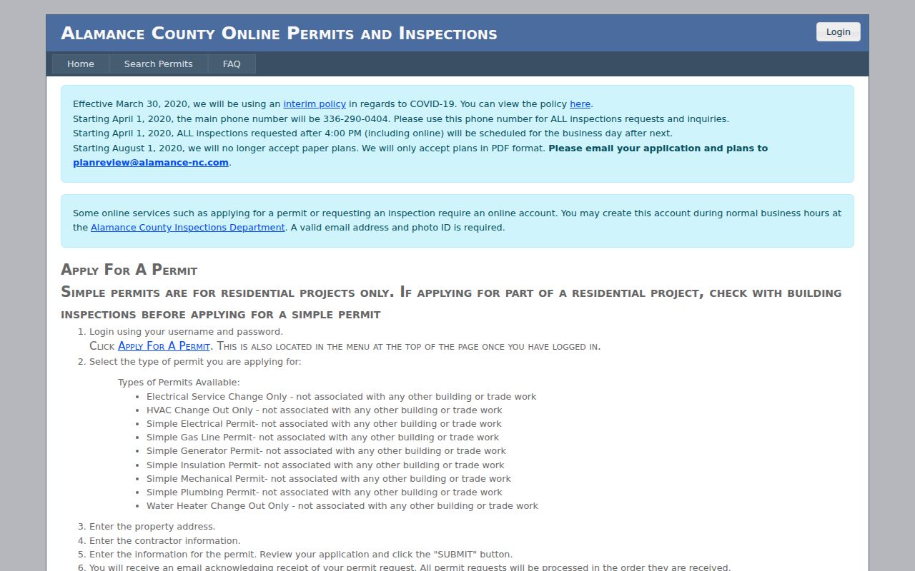
Permit results supply dates and project details, not a complete record of who occupied the Burlington address.
The Burlington permits and inspections page is the city route when the address falls within Burlington services.
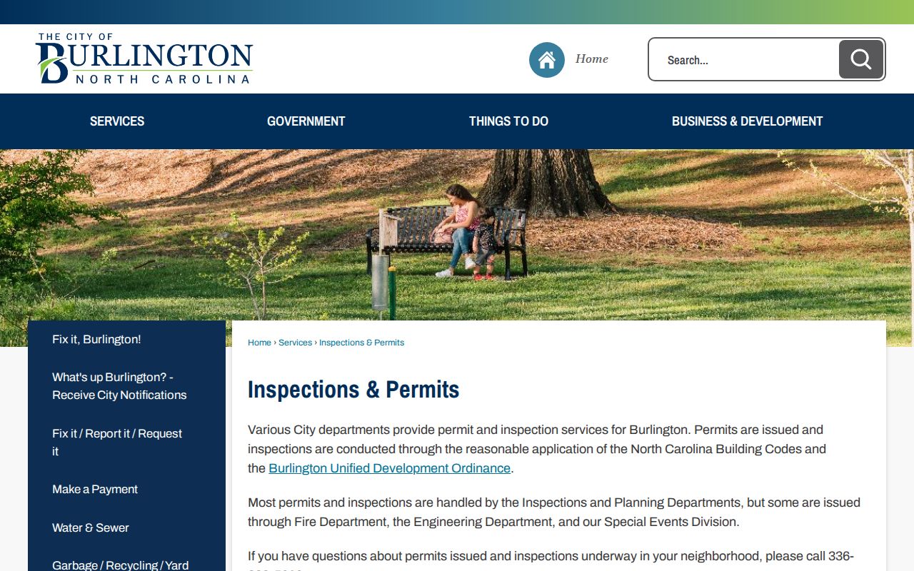
Use the city page to reach the proper SmartGov or department process for an existing Burlington permit record.
Burlington Street Record Coverage
Burlington address research works by chaining records instead of expecting one street directory to supply everything. The table separates records keyed by a parcel or address from records that merely include an address among other fields. It also distinguishes the evidence each layer can provide from what it cannot prove. This is especially important when a tax-card mailing address, a deed party, or a permit applicant is mistaken for the person currently present on a street.
| Address record | Keeper | What it shows | Access and limit |
|---|---|---|---|
| Tax parcel card | Alamance Tax | Owner, mailing and situs, value, sale vocabulary | Online search, counter, or phone; occupancy not established |
| GIS parcel | Alamance GIS | Shape, adjoining parcels, addressing, districts | Interactive map; controls need live verification |
| Recorded deed or plat | Register of Deeds | Parties, legal description, book/page, date, image | Cott and counter; online start year not stated |
| Permit | County or city inspections | Address, project, applicant, status dates | Address and permit search; not proof of residence |
| Voter record | N.C. elections offices | Released registration fields | Name-centered public form; protected fields excluded |
| Historical street directory | ACPL and DigitalNC | Dated occupant and address entries | Discontinuous years; publication snapshot |
For a person-specific question after an address trail has identified a name, use the official record that fits the person and date. A street-wide result should never be described as a complete list of Burlington residents.
Burlington Street Names Since Company Shops
Historical Burlington street research has a name-change problem as well as a number-change problem. The city began as Company Shops around the railroad in 1854 and 1855, incorporated in 1866, was renamed Burlington in February 1887, and became a city in 1893. A historic directory may refer to a neighborhood, mill village, road, or spelling that does not map one-to-one to a current mailing address. No official complete street-renumbering schedule or old-to-current crosswalk was found.
Preserve the old spelling and abbreviation. Search the historic street section, compare cross streets and nearby names, use a 1929 Sanborn sheet republished in 1952 for building and block context, then match a plat or legal description to the current GIS parcel. Early directory terms include Court House Square, East End, West Burlington, Petersburgh, Piedmont Way, Plaid, Sugar Hill, and Richmond Hill. These are historical search variants, not a license to force an old entry onto a modern address.
Note: Use the directory’s own spelling and context, then ask GIS addressing staff when a historic Burlington street cannot be bridged safely.
Burlington Street Directory History
Historic Burlington street listings are held through DigitalNC, Alamance County Public Libraries, and related collections. The 1924–25 volume includes a dedicated street-directory section. Earlier Commercial Service volumes cover Burlington, Graham, and Haw River, and later Hill volumes record Burlington entries. Compare an old street name, number, nearby names, and cross streets before treating an entry as the same parcel. A printed directory is a date-stamped publication, not an official title record.
May Memorial’s local-history room provides maps, newspaper microfilm, yearbooks, obituary material, photographs, and research assistance. Its directory and newspaper stack can bridge an address that is not visible in a current property portal. The historical collection is treated in depth on the Burlington city directory page; the Burlington street directory uses it only as the dated address layer.
Burlington Street ZIP Boundaries
ZIP labels can help normalize a Burlington street address, but a ZIP code is not a city-limit or county-boundary statement. The official NCDOR table lists Burlington with 27215, 27216, and 27217. It also shows a Guilford County row for 27215 and a Caswell County row for 27217. USPS verifies delivery and mailing information, while GIS and the tax situs establish parcel jurisdiction. Compare all three when a Burlington address seems to cross a boundary.
County GIS is the address-authority route found for parcel and E911-style checks. The state voter form has a county selector, not a verified ZIP filter. Tax, GIS, SmartGov, and county inspections did not expose a verified ZIP search mode in the research. Use the entire street address or parcel ID in those systems instead of assuming a ZIP filter exists.
Burlington Street Records at Graham
The online source is not the last source. Register of Deeds web records are unofficial, and older deed books, microfilm, or index drawers belong at the Graham counter. The clerk holds court files and official copies. The Board of Elections provides a county office route for released registration material. For historical work, May Memorial and the State Archives are the fallback chain. The State Archives’ Alamance estate series covers 1856–1949, and its miscellaneous series covers 1836–1939.
Recorded-copy fees are published by the Register of Deeds. Its schedule lists uncertified copies at $0.25 per page and certified copies at $5 for the first page plus $2 for each additional page. Confirm current fees with the office before ordering. A counter visit can resolve a record that an index does not expose, but it does not turn nonpublic material into a public street result.
The Register of Deeds fee schedule is shown below as the official copy-fee source.
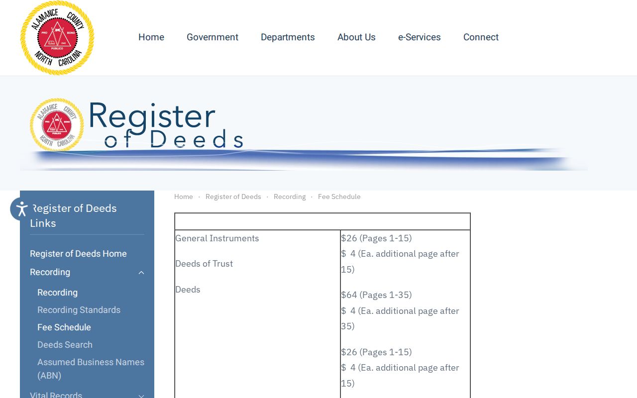
Use the listed fee page for a current cost check and the Register of Deeds counter for the official record.
The Alamance certified-copies page shows the county’s related certified-copy route.
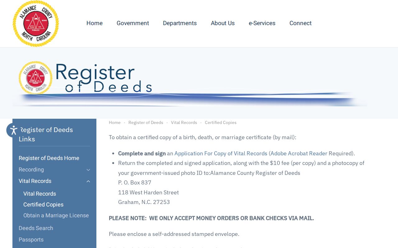
Vital-copy eligibility is separate from street research and does not establish a person’s current Burlington address.
Privacy on Burlington Streets
A Burlington street directory cannot show every person connected with a property. Parcel ownership does not disclose all occupants. Utility customer and delivery records are not public resident rolls. The federal Driver’s Privacy Protection Act restricts motor-vehicle address data. Voter records have protected addresses and excluded fields. Sealed court matters, juvenile records, confidential victim information, and protected vital data may be absent even when a person has a local connection. A blank result does not prove that no one lives there.
The NC Address Confidentiality Program protects qualifying survivors through a substitute address. A protected record should be respected, not treated as a search problem. When an official source does not show the detail sought, ask the custodian about a lawful access channel or a source-level correction route.