
Burlington Neighbors From Block Records
A block question has several distinct answers. The GIS map provides parcel geometry and nearby lots. Tax records identify an owner of record and show situs and mailing information. Cott links a parcel’s legal description to recorded transfers. Permits can place work at an address. Historical street directories can capture a dated snapshot. None of those layers establishes every person currently living near the address, so note the source and date beside each result.
| Source | What it shows about a block | Access and limit |
|---|---|---|
| Alamance GIS parcel viewer | Adjacent parcels, street geometry, jurisdictions, and mapped districts | Public map; exact layer and identify controls were not verified in text inspection. |
| Tax / Spatialest | Owner and mailing or situs data for each parcel | Search parcels individually; whole-street and ZIP controls were not verified. |
| Cott deed index | Recorded parties, book/page, and legal-description history | Not an occupant list; official online start year was not located. |
| County or city permits | Construction or inspection activity tied to an address | Applicant and contractor information do not establish residency. |
| Voter file and lookup | Released registered-voter fields and districts | The public lookup is person-centered and protected information is withheld. |
| Historical street directory | Past block occupants and household notation in a specific volume | Located volumes have gaps and must be read with their own abbreviation key. |
A parcel relation is not a person relation. One large lot can meet several streets, several legal parcels can share one number, and the owner on a tax card can be a person or entity with a different mailing address.
Map Burlington Block Records
Use Alamance County GIS as the starting point for adjacent parcels. Locate the target address, zoom to the immediate block, turn on parcel boundaries if the supported map offers them, and click the surrounding polygons. Copy the parcel ID and legal description for each one, then bridge each parcel to Tax/Spatialest. The accessible map inspection did not expose exact identify, select, buffer, measurement, export, or layer labels, so those controls should be tested live rather than assumed.
Alamance County GIS links is the captured source for the Burlington parcel-map route.
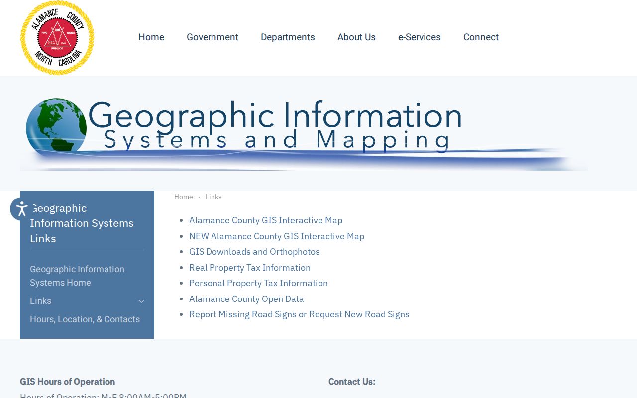
The GIS hub also connects parcel, addressing, zoning, downloads, and open-data resources. A map shape is a geographic check; bridge it to the tax record or deed index before treating it as ownership evidence.
- Find the starting address and record its parcel ID, situs address, and jurisdiction.
- Move outward only to the touching or immediately nearby polygons that answer the block question.
- Copy each legal description before comparing a tax owner or a recorded document.
- Use the exact parcel and address in tax, permit, or Cott searches, then keep each result dated.
Burlington Neighbors: Owners and Occupants
Tax records divide two important fields: situs identifies where the taxable parcel sits, while mailing address identifies where the bill goes. Neither field proves who is inside a home today. The tax owner may be elsewhere, and an occupant may not appear in property records at all. A deed can name a grantor, grantee, trustee, estate representative, or lender. It helps trace a transaction, not every household member.
For a released voter record, use the NC Voter Search to check a named person, not to browse a street. The form requires a first name, last name, and at least one voter-status choice; middle initial, birth year, and county can narrow the search. State data files can include released name, status, party, residence and mailing address, precinct, district, and participation history fields. They omit full date of birth, Social Security number, driver-license number, and ballot choice.
A block is not a household list. A voter match, tax owner, deed party, or permit applicant can be a useful lead, but none proves every person who lives at an address.
People with protected voter addresses may be omitted from released data. A non-match or a blank parcel result should never be read as proof that no one lives nearby.
Burlington Permit Records by Block
Permit records add date and improvement context to a block. The county’s search instructions document street address, owner information, permit number, and contractor as search paths. Burlington SmartGov accepts permit or license number, address, or name, and its result design can show submitted, expiration, and status information. A permit may name an applicant or contractor, but it is not a current-resident record.
Burlington SmartGov is the public permit and license portal captured for this Burlington neighbors record layer.
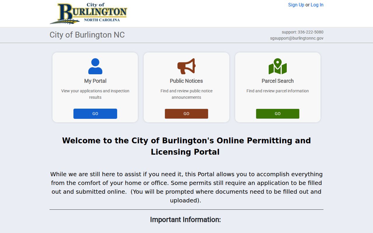
Compare the permit address and dates with the parcel, then keep the result in its proper role. It can help date work or identify a public permit record, not identify every neighbor on a block.
Note: No public Burlington code-case index was located, so request an existing record from the proper custodian instead of assuming an online case search exists.
Burlington Neighbors and Civic Contacts
No complete official Burlington neighborhood or HOA directory was located. The available public routes are civic contacts, not member rosters. They can help someone find a meeting, safety program, volunteer opportunity, or public-facing organization. They cannot establish who lives on a given block. Use an association’s own official channel when one is known, rather than trying to compile a private list.
Community Watch
Burlington Community Watch explains how residents can start a watch through the police department and meet in a church, school, or home. It is a civic contact route, not a published neighborhood roster.
Volunteer / Adopt-A-Park
Burlington Volunteer and Adopt-A-Park includes neighborhood associations, schools, civic and religious groups, businesses, nonprofits, and service groups as possible participants. Participation does not prove nearby residence.
Community Council
United Way of Alamance Community Council has local civic history since 1939 and provides an umbrella connection to public-facing organizations. The research notes a second-Thursday meeting route, not a member-address directory.
Burlington Community Watch is the source shown for a practical civic contact route.
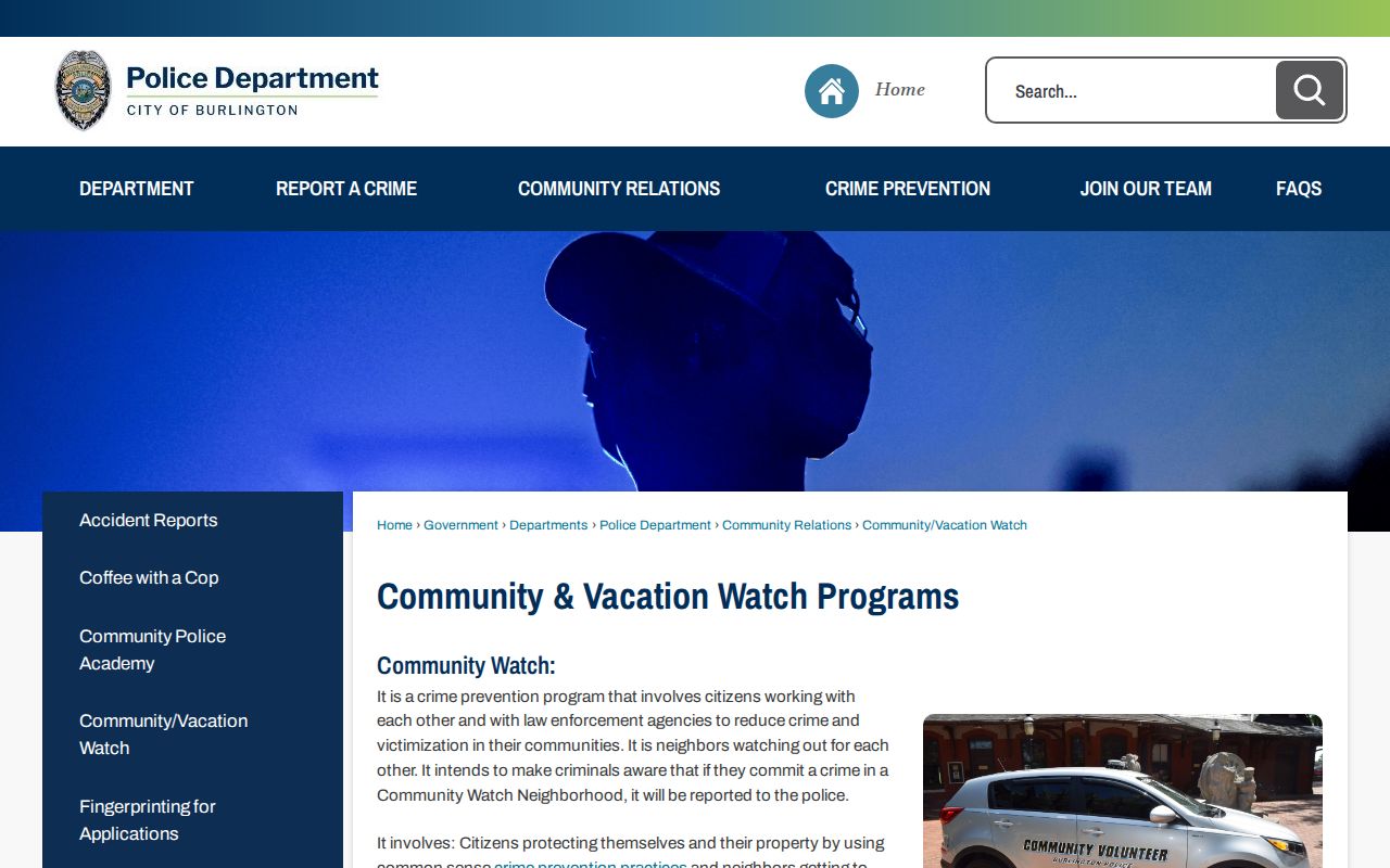
Community Watch can connect residents with a safety program without exposing names or addresses from a private group.
Burlington Volunteer and Adopt-A-Park is the public participation source used for the association contact route.
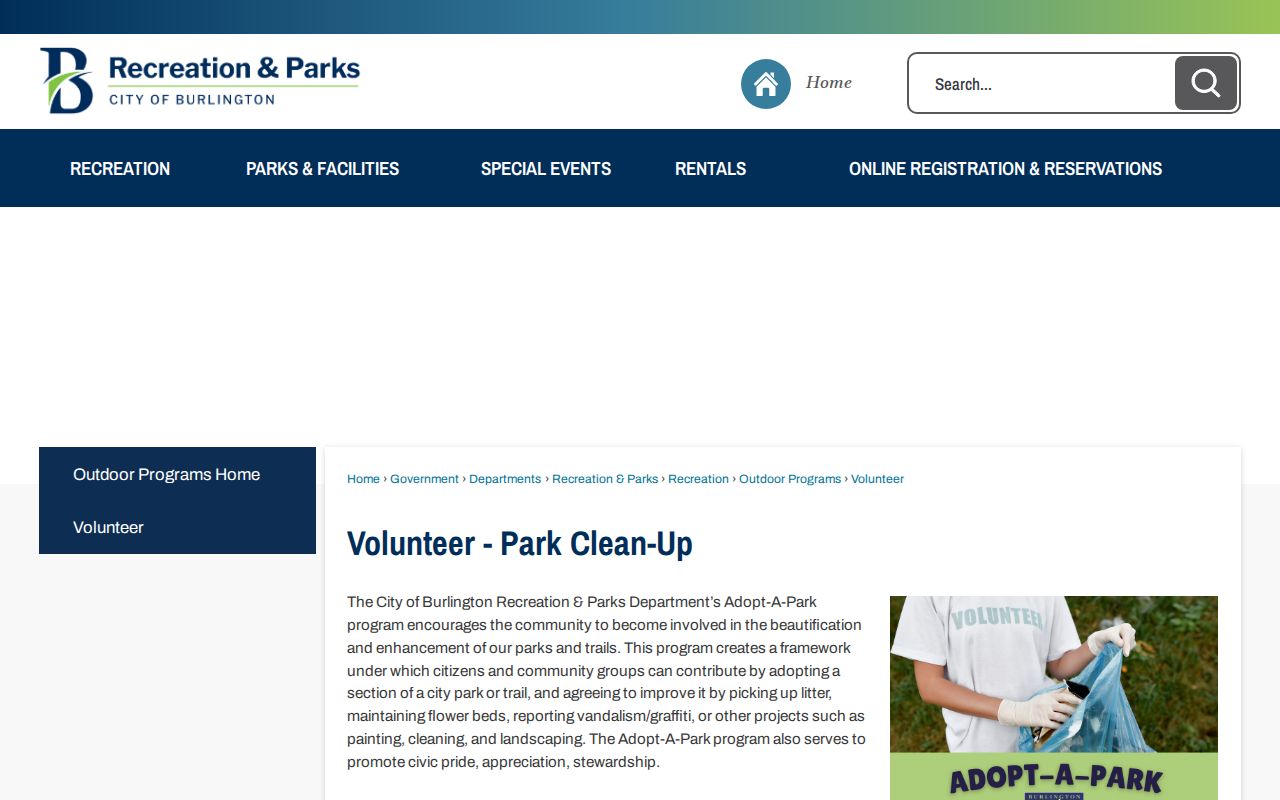
That program can identify a public project relationship, not the residents of the parcels beside a park.
Burlington Historic Block Records
Historic district descriptions can add a place name to a past block, but they are not resident lists. West Davis, West Front, and Fountain Place, along with locations such as the Stagg House, are useful anchors when an old directory uses a district or neighborhood description. Pair a historic place name with a dated city directory, Sanborn sheet, newspaper, or parcel description before drawing an address conclusion.
West Davis, West Front, and Fountain Place is the captured Burlington historic-place source for this block context.
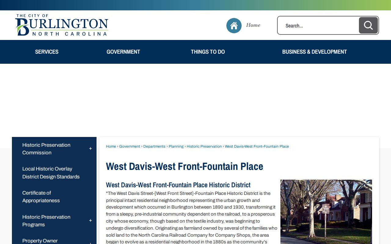
The historical description helps preserve a place-name variant when comparing a directory street section with a current map.
Stagg House is another Burlington historic-place source relevant to neighborhood context.
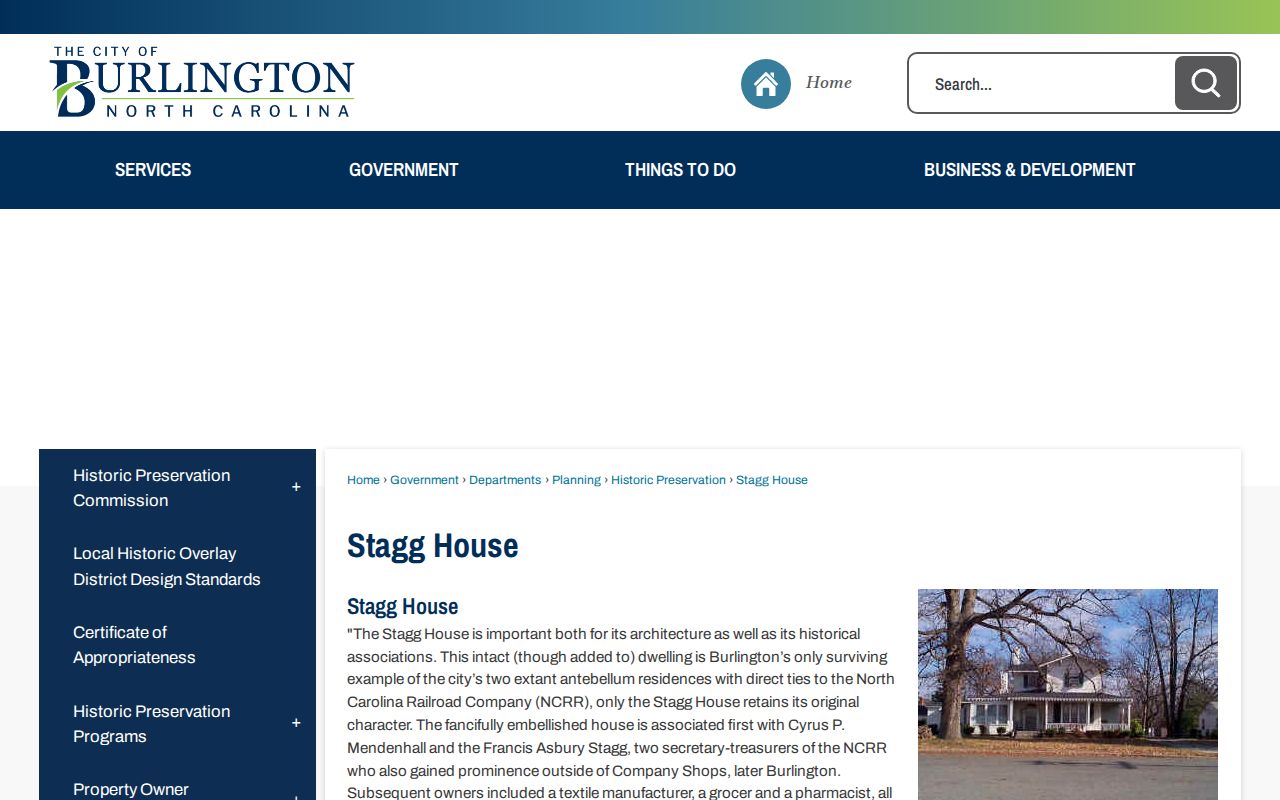
Use a landmark page to orient a historical search, not to name the people who lived nearby in a particular year.
For a dated street-wide trail, switch to the Burlington street directory. The block method stays focused on the immediate parcels and civic layer.
Burlington Neighbors: Official Records Compared
Official records have defined custodians and known limits. Commercial neighbor-lookup tools combine public filings, address histories, and third-party data, but the category can be stale and may merge people with similar names. For a block question, a map, parcel card, recorded deed, voter resource, library collection, or civic office gives a reader a clearer source and a better way to correct an error.
| Source type | Strength for a Burlington block | Limit to keep in mind |
|---|---|---|
| GIS, Tax, and Cott | Traceable parcel, owner, and recorded-document context | Owner and mailing fields are not a current household census. |
| Voter and civic resources | Defined public fields, districts, or official contact routes | Protection rules, private rosters, and person-centered searches narrow what is available. |
| Commercial neighbor tools | May combine several data sources in one display | Source dates, matching methods, accuracy, and correction routes vary. |
Use the official source first. It is more useful to know what a record actually confirms than to receive a broad list with no clear source behind it.
For example, an address match in an unofficial profile can confuse a mailing address with a situs address or blend an old transaction with a current one. A parcel card lets the reader see which field is which. A Cott document gives a recording date and book/page. A library directory gives the year of its snapshot. Those distinctions make a block search more accurate and give the reader a real custodian to contact if a detail is wrong.
Burlington Neighbors and Privacy Limits
Parcel ownership does not disclose every occupant, guest, or household member. Utility customer and delivery records are not public resident directories. Driver information is protected by the federal Driver’s Privacy Protection Act. Court, juvenile, vital, and protected-voter material can also be restricted. North Carolina’s Address Confidentiality Program gives qualifying survivors a substitute address, and a protected address is not a data error.
Lawful use. Burlington neighbor research can support civic curiosity, reconnecting, and personal safety awareness. Do not use records to watch, stalk, harass, intimidate, or harm anyone.
For an incorrect source record, contact the custodian that holds it: Tax or GIS for parcel data, the Register of Deeds for a recorded instrument, Elections for voter data, and the relevant city or county office for a permit. A correction request does not erase an otherwise lawful historical record.